
Ted Wynn, Bulloch County Public Safety Director has issued a severe weather alert.
According to Will Lanxton, Georgia Emergency Management Agencies (GEMA) Meteorologist, multiple rounds of strong storms are forecast to move through Central and South Georgia during the day on Wednesday, June 14, 2023 and into the nighttime hours.
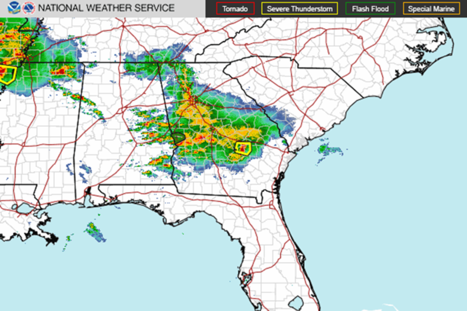
There could be some scattered severe thunderstorms during the morning and afternoon waves, but the most significant threat for severe weather should come from a much stronger wave in the evening and overnight into Thursday morning.
The Storm Prediction Center has issued a rare Moderate Risk (level 4 of 5) for portions of West-central and Southwest Georgia, including the Columbus and Albany areas, for today, tonight, and early tomorrow morning. On average, this SPC Risk Category is only issued in Georgia about once every year and indicates the potential for a significant severe weather event.
The main threats with this system tonight will be damaging thunderstorm wind gusts, tornadoes, and even some large hail. SPC has also designated the Moderate Risk area in Georgia as “Hatched Areas” for tornadoes and severe wind, indicating the potential for a couple of tornadoes to be strong (EF-2+) and swaths of intense wind gusts greater than 80 mph. All severe weather hazards (tornadoes, damaging winds, and large hail) will be possible with the storms that move through this morning and afternoon, but the highest potential for the strongest hazards should occur tonight into tomorrow morning.
All indications are that a significant severe weather event is likely to unfold across the Southeast this afternoon, evening, and overnight. If you are in Central and South Georgia, particularly west of I-75, it is imperative that you monitor forecast updates from your local National Weather Service office and reliable media outlets throughout the day and night. Because many of the strongest storms are likely to move through this evening into the early morning hours, please ensure that you have a way to receive severe weather warnings overnight.


