
Some of the coldest air we’ve seen in nearly five years is expected to move into Georgia on Friday and continue through the weekend according to Will Langston, GEMA/HS Meteorologist and the NWS . There will be some light rain ahead of the cold front on Thursday night and early Friday morning, but at the moment it appears to be almost all rain.
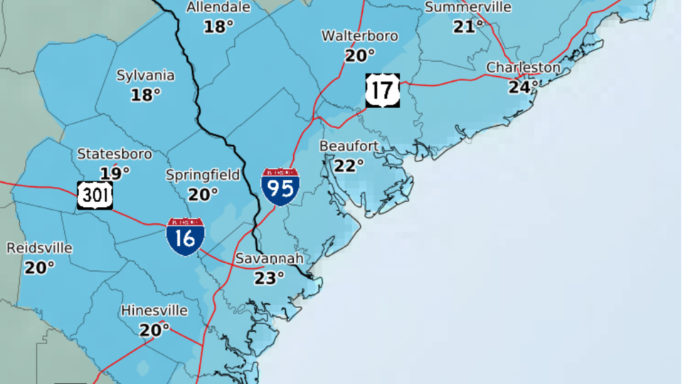
Subfreezing temperatures will expand across all of Georgia by Friday evening, and Saturday morning lows in the 20s in South Georgia. Saturday afternoon highs are forecast to barely rise above freezing.
Confidence is high that a brutal blast of arctic air will move in on Friday and continue through the weekend. There is still some uncertainty on exactly when that air will begin to make its way into Georgia, but right now it looks like Friday morning. There is still a lot of time for things to change between now and Friday, but an absolutely frigid holiday weekend is in store for Georgia.
Protect Your Pets, Livestock and other Property
If you have pets or farm animals, make sure they have plenty of food and water, and are not overly exposed to extreme cold. Take precautions to ensure your water pipes do not freeze. Know the temperature thresholds of your plants and crops.
Highlights
- A potent cold front will move through the region on Friday dropping temperatures below freezing by Friday evening
- Still looks like precipitation will end before the cold air arrives, with very low probabilities for wintry precipitation
- Gusty winds behind the front will lead to low wind chills Friday night into Saturday and possible Gale conditions in the coastal waters
- Below normal temperatures into next week
- Elevated tides Wednesday through Friday
- Winter begins Wed Dec 21 @4:48 pm EST
Summary/Expected Impacts
- Unseasonably cold air arrives Friday and remains through the holiday weekend into next week
- Gusty winds may lead to Wind Chill Advisories and Gale Warnings in the coastal waters Friday night
- Wind gusts Friday might approach land-based Wind Advisory criteria (frequent gusts to 45 mph)
- Elevated tides Wednesday through Friday
Warming shelters considered
Bulloch County Emergency Management Director Ted Wynn is monitoring this unusually cold weather moving in over Christmas weekend. Their greatest concern is when the temps get in the teens and do not warm up above freezing the following day. This can be very dangerous for citizens who are homeless or do not have adequate shelter.
Grice Connect is monitoring this cold front and will keep citizens posted if a decision is made to open a warming shelter on Friday night.


